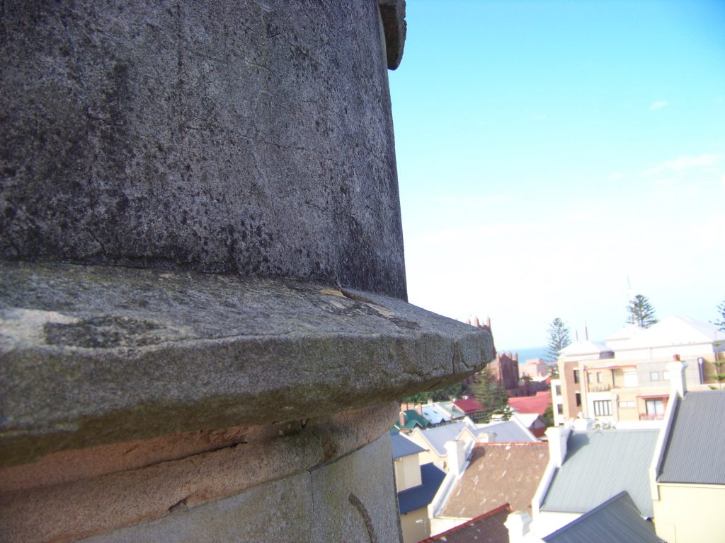
Newcastle has its very own castle turret on top of The Hill in the form of the Leading Light Tower or Beacon Tower. It was one of two built to assist captains in bringing their ships safely into the port. The coast around Newcastle is littered with hundreds of shipwrecks and the pair of towers built in 1865/1866 helped to increase the safety of vessels entering the Hunter River.
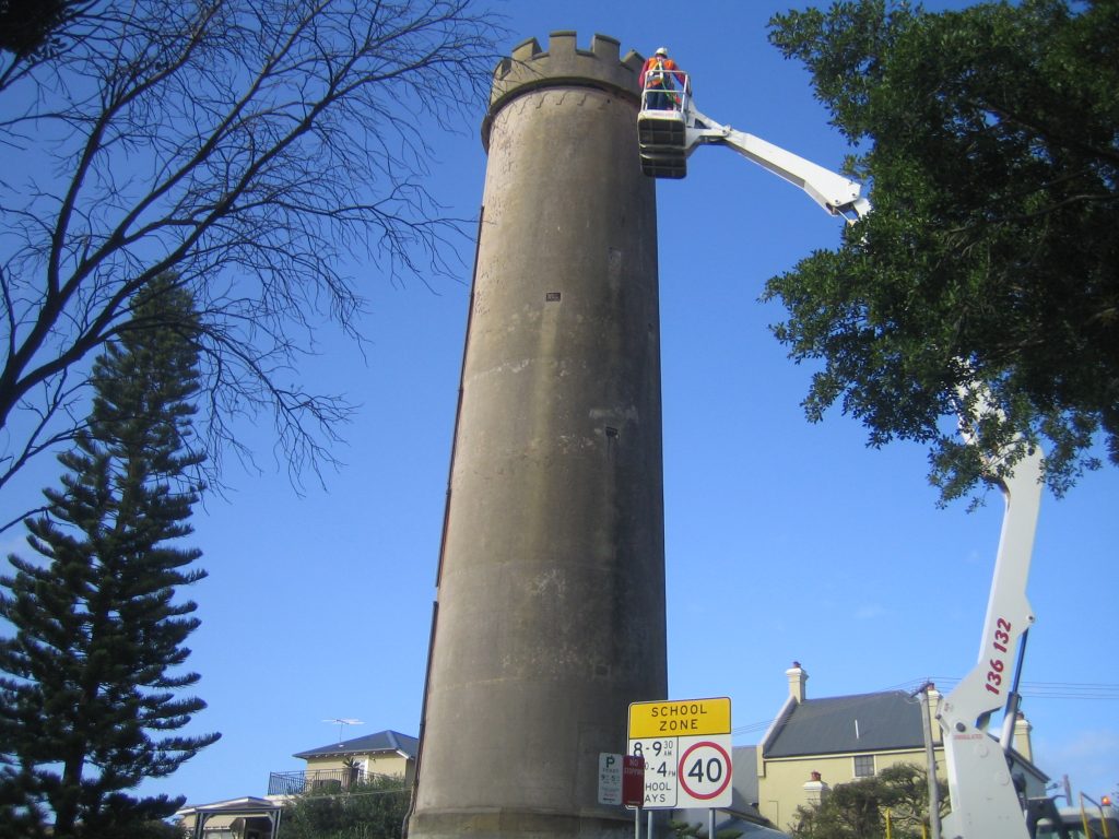
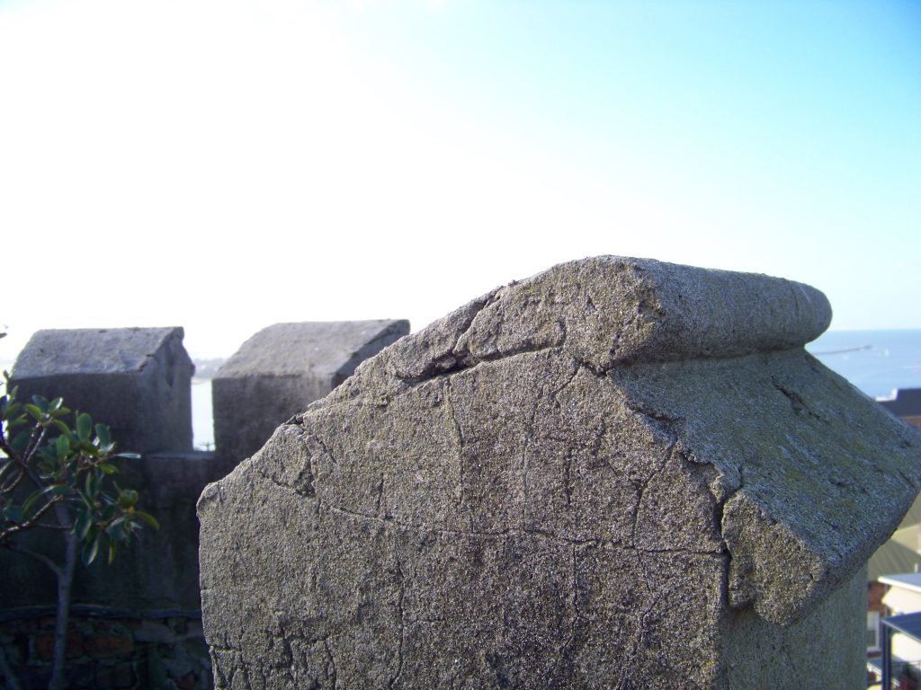
The Leading Light Tower (or Beacon Tower) on the corner of Tyrrell and Brown Streets on The Hill looks a little like an old shot tower, but it’s not. It’s one of the navigational towers that was built in Newcastle in the mid-19th century to allow safe navigation into what was then quite a treacherous harbour
“At that time transportation by sea was pretty much the only way you could get goods in and out of Newcastle so the beacon tower – originally one of a pair built in 1865 – was important to allow captains to bring their vessels into the port unaccompanied and to safely navigate the heads.”
Sarah Cameron – Heritage Strategist
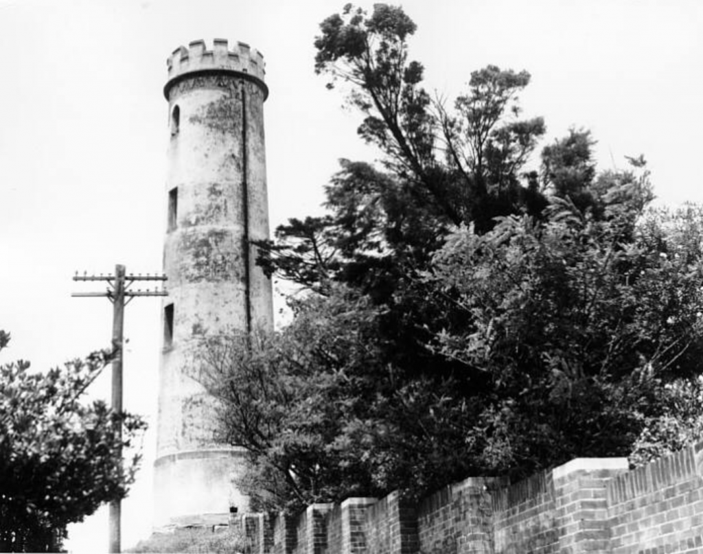
In an era of satellite navigation, the tower is low-tech. “It really does look quite medieval but at the time it was pretty high tech. We were really starting to invest in the port. After many shipwrecks the NSW government recognised the importance of trying to protect goods coming in and out of the harbour and to facilitate the expansion of our coal export trade which was really starting to gain momentum.”
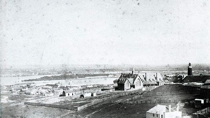
This one was built in 1865 but there were two. “The other one was down on Tyrrell St towards to beach so a ship would come around Nobbys head, line up the two towers and once they got them into a line they knew that they were clear of the reef. However, it was designed in Sydney, perhaps not designed by local maritime engineers and there were problems with its effectiveness.
After the loss of a number of ships on the notorious Oyster Bank, the lights became known by mariners as the ‘misleading lights’. Navigators argued that the towers were too close together so the margin of error was around 200 feet. In a big sea, that 200 feet could be crucial. In 1917 the government put in new towers in Church Street and the harbour foreshore where they remain to this day but they’ve been moved around and are now modern structures,” said Sarah.
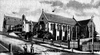
Built in 1865, the Cawarra disaster happened just the year after the foundation stones for the Lead Light Towers were laid: “Yes, this tower was originally only seven metres tall. It was ineffective once the parsonage was built down on Tyrrell Street and obscured the view of this top tower from the heads. So James Barnet, who was the colonial architect of the time, rebuilt it on the same base but extended it to 20 metres.”
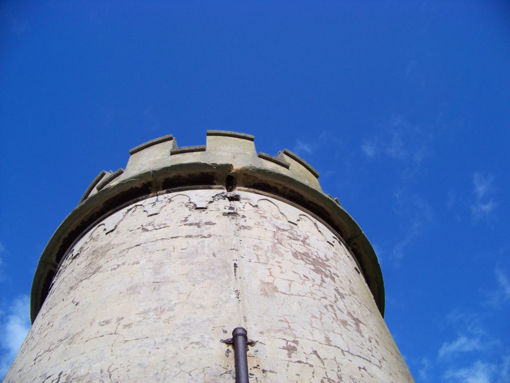
“Barnet was the government architect of the day and he’d have had a team working for him. He was responsible for many of the great buildings in NSW including Sydney’s Customs House, Darlinghurst Courthouse and the Australian Museum.” Sarah adds, “You can see his trademark in this tower in that it looks like a castle or chess piece. It’s quite whimsical and fitting for New-Castle! Architecturally it is quite a folly, you have to wonder why anyone would bother.”
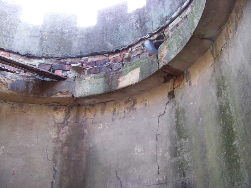
The tower used to have a roof over it and a burner in the bottom of the tower which was lit at night so that when ships were entering the heads at night the slot windows would illuminate from within.
“This one has survived which is great for our city as it’s a real icon. The other one of the pair was demolished although the base is still in the front yard of a house down the hill so the archaeological resource remains. It was actually in the garden of the harbour master.”
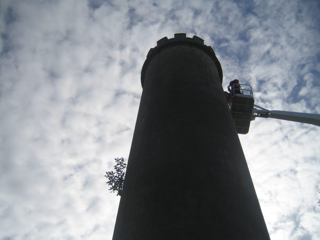
The doorway to the tower has now been sealed so any maintenance by council engineers has to be done via a cherry picker, but the harbour master was responsible for ensuring that the towers were lit, and stayed lit.
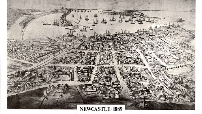
Other navigation devices at the time included the obelisk on Obelisk Hill and Flagstaff Hill which is where Fort Scratchley stands.
“The lighthouse at Nobbys was built in 1854, so there was a whole series of navigational infrastructure put in by the colonial government in order to expand the port and make sure that our coal export trade was able to provide economic benefits to the nation.”
Further reading:
https://www.newcastle.nsw.gov.au/Explore/History-Heritage/Heritage-attractions/Lead-light-tower
https://www.environment.nsw.gov.au/heritageapp/ViewHeritageItemDetails.aspx?ID=2170279
Original article by Carol Duncan on ABC Newcastle 30 March 2012.
Other images | City of Newcastle


0 Comments